Cartography
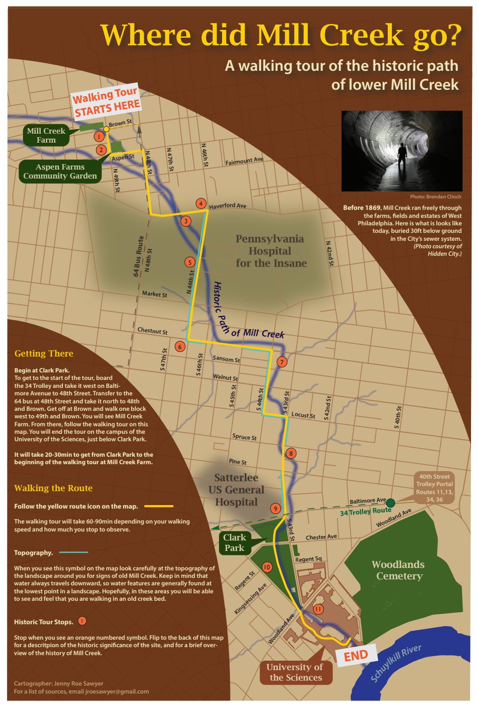
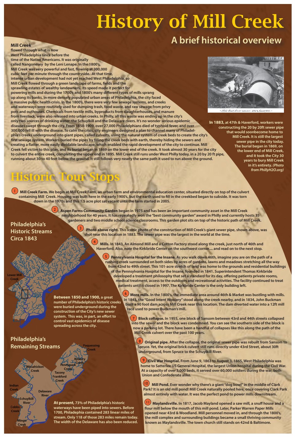
As a former watershed educator and general water enthusiast, I have recently become very interested in the history and phenomenon of Philadelphia’s "historic streams," which used to flow over the landscape and have now been buried underground in the sewer system. I find that most people in Philadalphia are unaware of this hydrologic history and are shocked to find out streams used to flow all over this land. So when it came time to do a final project for my cartographic design class, I decided to research the history of Mill Creek which used to flow through my neighborhood in West Philadelphia and create a map that would function as an watershed education tool by leading users on a walking tour of the historic path of the creek through the neighborhood.
Some day I hope to create similar maps for other buried streams in Philadelphia.
Data Sources:
City of Philadelphia @ opendataphilly.org
Philadelphia Water Department @ opendataphilly.org
and @ phillywatersheds.org
US Census Bureau @ census.gov
Historical Sources:
Adam Levine, Historical Consultant for the
Philadelphia Water Department @ PhillyH2O.org
Hidden City @ hiddencityphila.org
University City Historical Society @ uchs.net
Greater Philadelphia GeoHistory Network’s Interactive
Map Viewer online @ phillygeohistory.org
(Maps: Charles Ellet, Jr., 1843, R.L. Barnes, 1855,
Samuel L Smedley, 1863)
West Philadelphia Landscape Project @ wplp.net
Mill Creek Farm @ millcreekurbanfarm.org
Wikipedia @ en.wikipedia.org
Aspen Farm on Facebook
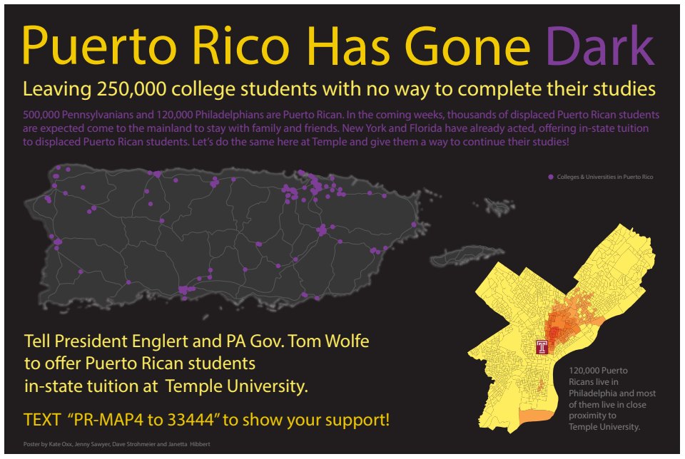
This poster is the product of a friendly cartography class poster competition. The goal of each poster was to raise awareness on Temple’s campus about the dire situation in Puerto Rico after Hurricane Maria. It was a group project, and I designed the layout and color scheme for this poster in Adobe Illustrator. I styled the color scheme to mimic the beautiful aerial images of the island at night taken by NASA. They are shown below.

Night images taken by NASA of Puerto Rico before and after Hurricane Maria, which I used for my color palette in the poster above.
The assignment:
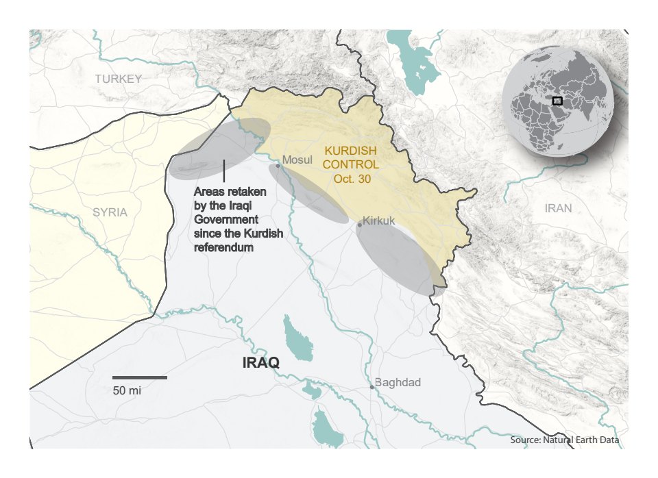
Mimic a map of Iraq made by the New York Times,
as perfectly as you can.
My result:
This map.
Up Next: